2. Cileutuh River
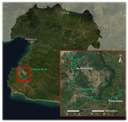
Cileutuh River is one of major river in Sukabumi where eel fisheries are practiced. Except for the estuary area, access to Cileutuh river is generally difficult due to its terrain. Kp. Nyalindung is one of very few places next to the river that can be directly accessed using cars, and therefore, was proposed as potential stocking site by MFO. The additional location that was assessed in Cileteuh River is Curug Awang, a 30 meters high waterfall.
a. Kampung (Kp.) Nyalindung
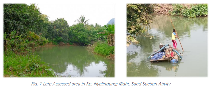
Kp. Nyalindung is a small settlement next to the Cileutuh River that is located in Ciemas Subdistrict. Riparian vegetations in this area are quite good due to various plantation that are established along the river segment (Fig. ). However, at this exact location, village government has allowed locals to suck sand using machines directly from the riverbed. This activity is a major concern which makes this location unsuitable for stocking. There was no fishery practice found during the assessment.
b. Curug Awung
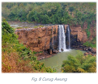
Curug Awang is a 30 meters waterfall located in Ciemas Subdistrict. It is a tourist attraction area with minimal supporting facility and difficult road access. Although a waterfall usually is not an ideal place for eel stocking, the teams decided to assess this location due to previous small-scale stocking activity that was conducted in this area. No fisheries activity was spotted in this area during assessment.
The height and the shape of this waterfall make it a natural barrier for eels. Releasing eels on the top of waterfall may lead major injuries due to result of falling, while releasing at the base may limit eel migration/exploration route


No Comments